
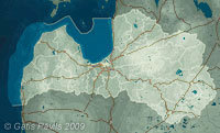
| Coordinates: | 57°00'50,54'' N
24°04'01,81'' E
Google Maps (localisation not exact, possible mistake up to 60 metres) |
| No: | 167 (list of all monuments) |
| Category: | Palaces and manor houses |
| Address: | Riga, Voleri, souther side of Daugavgriva Street south from the dam over Hapaka gravis |
| Versions of name: | Happackshof, Hapackshof |
| Year of construction: | Early 17th c.? |
| Condition: | Does not exist |
| Value: | Architecture |
The name of manor house comes fom its manager Johan Timothy Hapah at the beginning of 17th century. The building has not been preserved, existed up to the beginning of 20th century.
Images
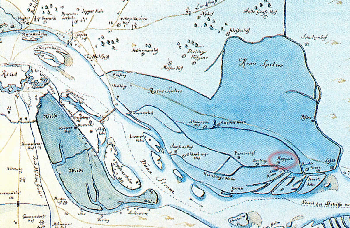
Hapaks manor, fragment of the map by E.Tolk. 1701
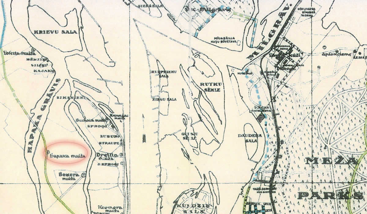
Hapaks manor in the map. 1930
References
- Kaupuža D. Rīgas muižiņas. Latvijas architektūra, Rīga, 2005, p.95.
- Latvijas armijas ģenerālštāba kartes, 1930.
- Enciklopēdija Rīgas ielas, 2.sējums, Rīga, 2008, p.246.
- Broce J.K. Zīmējumi un apraksti, 2.sējums, Rīga, Zinātne, 1996, p.463.
- Rīgas plāns, 1:50 000, Rīgas pilsētas ielu bruģi un šosejas, 1930.
- Pope A. Rīgas galvenā nomale, Rīga, Zelta grauds, 2005, p.16.