
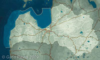
| Coordinates: | 56°57'29,11'' N
24°14'31,93'' E
Google Maps (localisation not exact, possible mistake up to 50 metres) |
| No: | 114 (list of all monuments) |
| Category: | Palaces and manor houses |
| Address: | Riga, Mezciems, in the area of Bikernieki Street 122, 124 |
| Versions of name: | Franki manor, Frankenhof |
| Year of construction: | Beginning of 18th c. |
| Condition: | Does not exist |
| Value: | Architecture |
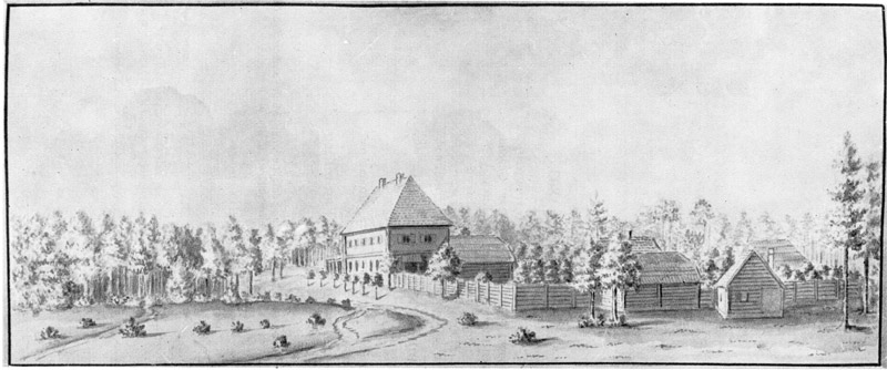
Kauli manor was established on the land of two farmers - Selitis and Renge - after the plague epidemic from 1709. In 1787 manor house became property of Riga merchant Hermann Bruns. In drawings of J.C.Brotze (4.) Kauli manor is shown in 1782., 1801., 1803. Drawings show loghouse with two floors with steep four-sided tiled roof. Manor house is simple, without specific adornments.
Up to 1920ies estate was owned by Bush family.
There still exists and recently has been renovated a possible household building of Kauli manor in Bikernieki Street 126 - it is built of large splintered stones. In 2002 there were demolished manor centre buildings in Bikernieki Street 122 and 124 - these were reshaped already before.
Images

Kauli manor, J.C.Brotze. 1782
Kauli manor, J.C.Brotze. 1801
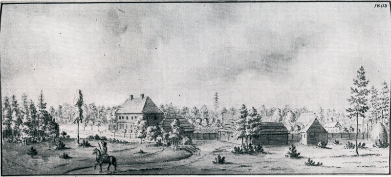
Kauli manor, J.C.Brotze. 1803
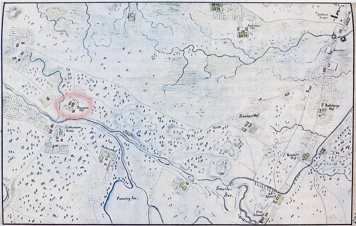
Franki manor, map by J.C.Brotze. circa 1790
References
- Kaupuža D. Rīgas muižiņas. Latvijas architektūra, Rīga, 2005, p.95.
- Jakovičs A. Rīgas ekotūrisma atlants, visited on 20th June 2009
- Latvijas piļu un muižu asociācijas mājaslapa, visited on 20th June 2009
- Broce J.K. Zīmējumi un apraksti, 2.sējums, Rīga, Zinātne, 1996, pp.102.,116.
- Enciklopēdija Rīgas ielas, 2.sējums, Rīga, 2008, p.75.